The Chinese Jilin-1 Satellite Can Film Target at Up to 2 Million Km
The Jilin-1 satellite is part of the Jilin-1 satellite constellation, which is China's first self-developed commercial remote sensing satellite system. The constellation consists of multiple satellites launched into orbit to provide comprehensive Earth observation capabilities.
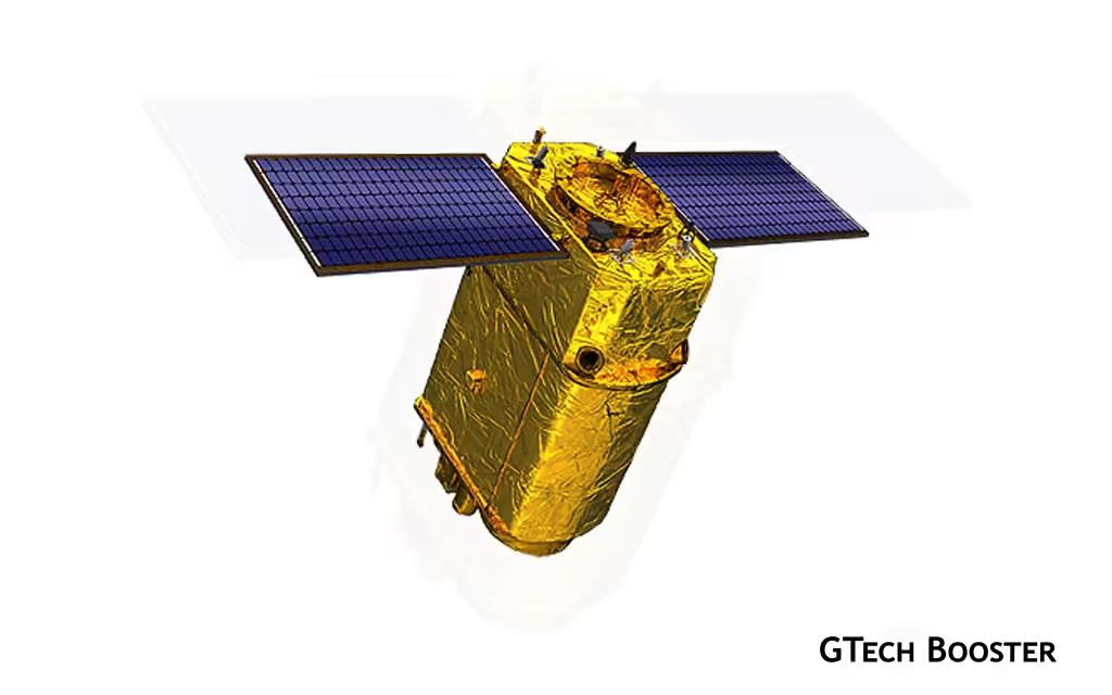
The Jilin-1 satellite, developed by Chang Guang Satellite Technology Company, is capable of capturing images of targets at distances of up to 2 million kilometers. This feat was achieved during a mission in January 2022, where the satellite tracked the asteroid 1994 PC1, which was about 2 million kilometers away from Earth.

The Jilin-1 satellite constellation is a Chinese remote sensing satellite system owned by Chang Guang Satellite Technology Company. It consists of several satellites with different capabilities for various mapping applications, including environmental monitoring, forest management, energy, mining, and land planning. The Jilin-1 satellites have the capability to capture high-definition video imaging, optical imagery, and hyperspectral imagery.
This satellite is a high-definition optical satellite with a 0.72 m resolution pan-chromatic camera and a 4 m resolution multi-spectral camera. The Jilin-1 satellites have been launched using different rockets, including the CZ-2D, CZ-11, CZ-6, and Kuaizhou-1A. Some launches have been successful, while others have experienced failures. The Jilin-1 satellite is a Chinese satellite system primarily used for Earth observation. However, it has also demonstrated impressive capabilities in tracking and imaging objects in space, including asteroids. One notable achievement of the Jilin-1 satellite was its ability to track an asteroid called 1994 PC1, which was located at a distance of 2 million kilometers from Earth.
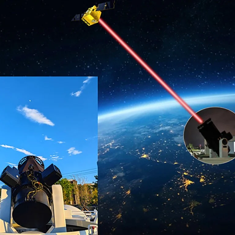
Astronomers faced challenges in accurately tracking the asteroid due to its enormous distance. However, the Jilin-1 satellite, operating in a near-Earth orbit, performed a groundbreaking maneuver to help track the asteroid and avert a potential disaster. By aiming its camera into space, the satellite captured crucial data by taking photos of the asteroid every second.
The Jilin-1 satellites are equipped with high-performance optical remote sensing sensors that can capture high-definition video imaging, optical imagery, and hyperspectral imagery. These capabilities make them suitable for various applications, including environmental monitoring, forest management, energy, mining, and land planning.
Jilin-1 satellite, part of the Jilin-1 satellite constellation, has demonstrated its ability to track and image objects in space, including asteroids located up to 2 million kilometers away from Earth. Its achievements highlight China’s impressive space capabilities and the potential applications of the Jilin-1 satellite system in Earth observation and beyond.
More Information ℹ


Gabby